John Allard
October 27, 2017
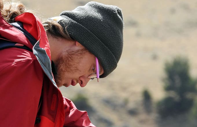
John Allard transferred to the University of Montana Western the spring semester of 2016 from Humboldt State University, a CSU in Arcata, CA. A passion for exploring natural environments and interpreting landscapes quickly developed into a desire to pursue fieldwork.
Mention of the block schedule by a geology professor at HSU inspired John to investigate the system further, leading to the discovery of UMW and the Experience1 program, with its key component of experiential learning. Ready for change, Allard spent a year abroad, then began his immersion into Montana’s tightly-knit communities and majestic landscapes.
Majoring in Environmental Sciences with a focus in geology, John quickly realized that Southwest Montana is an optimal place to observe keystone geologic concepts, both in roadside outcrops of 100 million-year-old marine sediments crawling with ancient fossils, and contemporary processes, such as rapid uplift of mountain ranges near Dillon and active sedimentation of surrounding basins.
Gaining knowledge and skills in broad-field natural sciences through intensive field and lab-based course work, Allard became employed with the Bureau of Land Management’s Dillon Field Office, working through the summers on BLM land throughout Southwest Montana. Allard’s duties included installing and completing studies on streams in remote locations, adding valuable data to management inventory and learning professional methodology in field studies.
In the fall of 2016, Allard was accepted to a research program called Baja Basins REU (Research Experience for Undergraduates), which is funded by the National Science Foundation (NSF) and developed by geology faculty from The University of Kansas City and UCDavis. He spent three weeks on the Baja Peninsula, analyzing sedimentary structures and mapping volcanic complexes. This summer, Allard will regroup with his peers and mentors from the project in Kansas City, MO, where they will analyze and compile their data for presentation in Seattle at the Geological Society of America’s annual meeting.
John credits these opportunities to his coursework at UMW. “Experience1 puts using the field and pushes us to use critical and thorough observation to answer questions that our professors present. Without experiences like mapping glacial landforms in the Pioneer and Teton ranges or collecting data related to plant communities along an elevation gradient in the Tobacco Root Mountains, I would feel like a fish out of water when assigned with data collection in a professional environment.”